
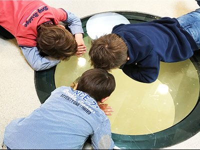
A space is called a place, only after its inhabited.
Placemaking in Architecture
People are inspired to rethink and remake public places as the core of every community via placemaking. Placemaking refers to a collaborative process through which we may create our public domain in order to maximize shared value by strengthening the connection between people and the places they share. Placemaking encourages innovative patterns of usage, giving special attention to the physical, cultural, and social identities that define a place and support its continuing growth, rather than just promoting better urban architecture.
"Cities have the power to provide something for everyone, but only if and when they are developed by everyone." - Jane Jacobs
Inherently, public space is multifaceted. Many different individuals utilize successful and real public places for many different reasons at many different times of the day and year. Because public spaces accommodate so many functions and users—or fail to do so—they also serve as a focal point for a dizzying array of local and global challenges.
The interface between our homes, our enterprises, our institutions, and the rest of the world are negotiated in public space. We use public transportation to travel to work, run errands, and return home. Nearly half of all violent crimes occur in public spaces. In public spaces, enforcement provides the protection of some but not everyone. Public space is for a meeting, playing, and bumping into one another, as well as for purchasing and selling. The banalest utilities and infrastructure are laid in public space, as well as our fury and grandest hopes. And, if we allow it, public space may be a place for experimentation, innovation, and expression.
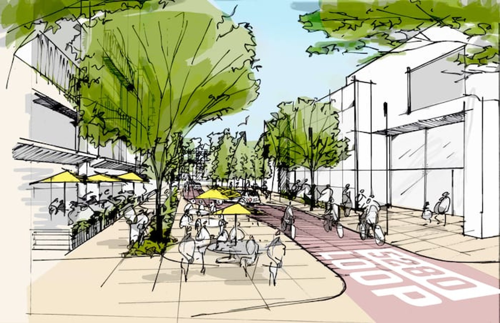
Whether it's a huge city plaza or a little neighborhood park, most wonderful sites have four fundamental characteristics:
1. They are easily accessible and well connected to other local landmarks.
2. They are at ease and provide a positive image.
3. They entice others to take part in the events.
4. They are convivial spaces where people desire to congregate and return time and time again.
Placemaking is an ideology as well as a process. It is based on observing, listening to, and questioning the people who live, work, and play in a given area in order to better understand their needs and goals for that space as well as for their community as a whole. Building a plan for implementation requires working with the community to establish a vision around the locations they see as vital to community life and their everyday experience. Short-term, experimental enhancements can help public places and the people who use them right away, while also informing longer-term improvements over time.
In urban planning, the concept of 'public' is crucial. The majority of planning decisions are made in the name of 'the public.' Planners frequently use phrases such as public infrastructure, public places, and public amenities. The term 'public' here refers to 'all people' or 'everyone.' The concept of the public, which is perceived to be a distinct entity, promises an 'entirety.' Because any ambiguity or difficulties in the concept of the public would destabilize planning, the discipline prohibits conceptual discourse on the matter. As a result, the concept is conceptually closed, with the public denoting a distinct entity. Mumbai's chaotic urban environment exemplifies how opening up the concept of the public might destabilize the city.
For example, while designing roadways, a particular width is taken into account to accommodate both people and automobiles. A street in Mumbai, on the other hand, is frequently utilized and claimed in a variety of ways - hawkers set up shops, stores expand their limits, new shops open, and so on. Slowly, the street transforms into a shopping district. The roadway becomes clogged as a result of the plan's inability to accommodate the increased activity, and it becomes an example of the plan's failure. The designer thinks that the street is a public place (infrastructure) that may be utilized by anybody, but only for walking and driving. The planner considers pedestrians and automobile drivers to be members of the public who have no claim to the road yet use it to get around.
For street design, the planner can only deal with clearly defined and closed public ideas, without claims. Any attempt to open up the notion conceptually would render the situation unmanageable for the planner. The problems in dealing with the conceptual opening up might be clarified by a closer material investigation of how streets are worked out as public places.
Points, lines, and polygons, which represent locations, edges, and bounded spaces, respectively, are used in planning to define and recognise property. Polygons with unambiguous bounds are used to define and recognise property, coupled with a record of rights. Any changes to the polygons or property must be made through complex administrative and legal merger and subdivision processes. Clear polygons with sturdy edges are required when defining a property using cartography. The roadway is commonly described as a space between polygons that no one owns (but the state). The planner's clearly defined 'public' is expected to pass through this place and do nothing else. However, if the concept of the public is expanded to encompass the claims of hawkers, squatters, and other claimants, an unstable situation is likely to emerge in which positions shift, edges mutate, and spaces morph since these claims are not set and obvious.
Cartography's clarity is inherently incapable of dealing with such instabilities of locations, edges, and spaces - and so planning is unable to cope with them. It takes years to modify the property polygons on a cartographic map, yet it happens every hour on the street. As a result, recognising such ambiguous statements becomes impossible for the planner since there is no vocabulary to deal with them. The concept of the public is also not expanded to incorporate the claims for another reason: it would imply acknowledging and formalizing the claims. This would be in conflict with the city's property regulations, and the state would be powerless to cope with such inconsistencies. As a result, in many respects, the planner is obligated to disregard such statements and create a plan based on a narrow conception of the public.
Cities like Copenhagen, Denmark focus on people’s wellbeing and the spaces they inhabit quite critically. Spatial concepts like - Walkable cities by Jeff Speck, Happy cities by Charles Montogomery, Eyes on streets by Jane Jacobs, Image of the city by Kevin Lynch and Cities for people by Jan Gehl, focus on how people interact in the social realm. While some architects and urban planners like- Bjarke Ingels, Le Corbusier, William Whyte, Peter Hall, Henri Lefebvre and Charles Correa have contributed to the realm of public space and the concept of placemaking.

Popular Articles
Popular articles from the community
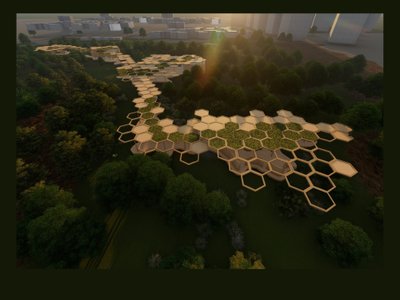
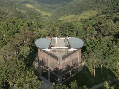
Eco Chapel: A Green Architecture Pavilion Designed in Symbiosis with the Forest
Eco Chapel uses green architecture to weave prayer, learning and reuse into a forest pavilion shaped by modular hexagonal canopies for life.
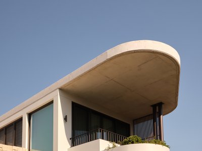
Stanton Architects Sculpts a Curving Family Home into Sydney's Inner West Fabric
Five Dock House uses cantilevers, curved concrete, and layered courtyards to carve out privacy on a tight suburban lot in Sydney.
IKC de Geluksvogel: Sustainable School Architecture Designed for Free Movement and Digital Learning
IKC de Geluksvogel turns sustainable school architecture into a flexible Maastricht campus for digital learning, nature, and free movement.
Kaffeebühnen: Coffee Shop Architecture Designed as a Civic Stage Between Vienna’s City and Park
Kaffeebühnen turns coffee shop architecture into a civic stage, linking Vienna’s park edge, urban life, warm timber yards, and coffee craft.

Similar Reads
You might also enjoy these articles
House in Bocaina by Ana Altberg + Cesar Jordão: A Circular Retreat Embracing the Atlantic Forest
Circular forest home in Brazil by Ana Altberg and Cesar Jordão, blending sustainable materials, passive design, and immersive landscape integration.
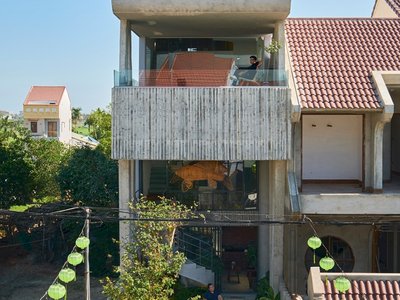
Cherry Homestay: A Harmonious Blend of Modern Design and Traditional Hoi An Architecture
Cherry Homestay blends modern architecture with traditional Hoi An elements, featuring spiral stairs, rooftop mezzanine, sustainable materials, and open, airy spaces.
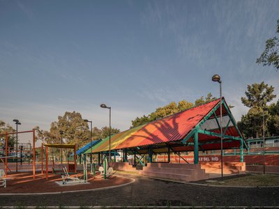
Revitalizing Culhuacán: Housing Unit Infonavit CTM Square by AMASA Estudio
AMASA Estudio revitalized CTM Culhuacán Square, transforming neglected housing unit spaces into vibrant, accessible, community-focused public areas with sustainable design elements.
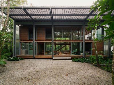
FR House by Andrade Morettin Arquitetos Associados: A Coastal Retreat Embedded in Brazil’s Native Landscape
Coastal vacation house blending into native vegetation, using translucent polycarbonate, timber structure, passive shading, and elevated design for climate-responsive living.


Comments (1)
Please login or sign up to add comments
Blog well written with relatable anecdotes, personal observations make it interesting. Case understanding is good on all levels, well done!