
Beneath
Challenge to design an underground social stop
Overview
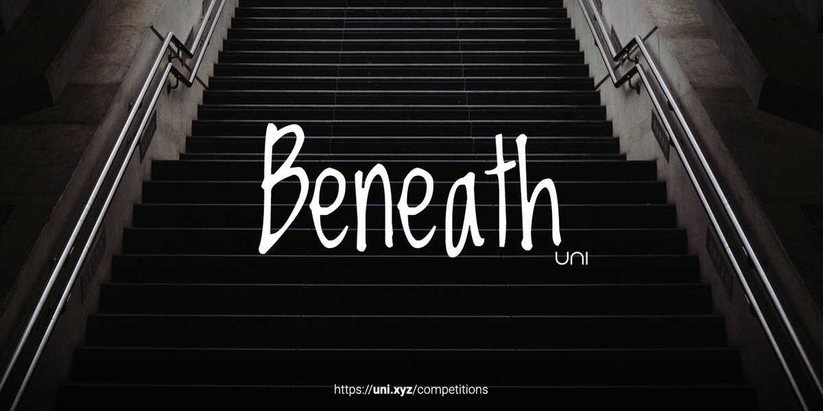
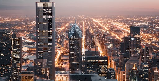 Fig: 1 - Skyscrapers are a symbol of the prosperity and socio-economic development of a city.
PREMISE
Imagine waking in an urban city, your sight is immediately overwhelmed by huge buildings that are along busy streets. As a pedestrian, your position puts you right in the middle of a rushed environment, surrounded by the ‘concrete jungle’.
As cities get more urbanized, the pressure on a piece of land to accommodate more people increases, adding to the density of the city’s built form. The solution for the greatest land use, in the 20th century, was to move upward and create towers. As residents and workers moved upwards, the experience of the pedestrian worsened due to increased noise levels, air pollution, and safety concerns on the ground level.
The high density of built form in the city creates an Urban Heat Island effect (UHI) on the ground. Heatwaves and scorching sun rays have a combined effect on street occupants, making the experience of walking distressing and unbearable.
How can the pattern of distribution of built forms in the city be changed to provide comfort to both occupants and pedestrians around the site?
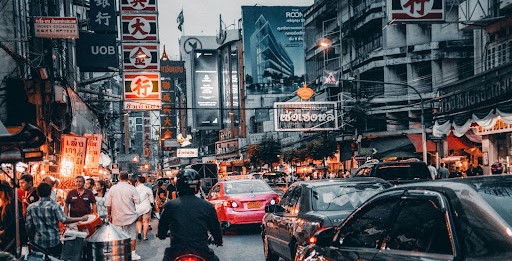 Fig: 2 - City streets have the role of accommodating traffic, pedestrians and public activity as well.
ISSUE
In every setting, there must be a balance of solids and voids, built and unbuilt spaces. They provide respite to our hectic vision and offer a pleasant sight of familiarity. Urban space's importance is established with new public parks and plazas popping up in dense cities.
While these places are meant to provide a place for relaxation and leisure to a walker, the visitors are unable to escape the strenuous scene of the city, despite the number of barriers used. The attempt to create a haven in the midst of a traffic-ridden city fails due to superficial interventions.
How can we design more effective public spaces? Can we start looking at our city in a way where we explore the building possibility in the downwards direction of the ground? Will the use of the new parallel dimension under the ground resolve our concerns of reducing density in a city? Instead of putting transport networks below ground, an underground public spaces be more beneficial and efficient? How would public activities be conducted in a venue underground?
 Fig: 3 - As more cities are shifting their focus on pedestrians and public patterns, the underground spaces remain an unexplored frontier with respect to public spaces. (Credits: San Victorino Bta)
BRIEF OF THE COMPETITION
Design a sunken public place, where multiple functions can be accommodated on different levels of the same piece of land.
The built design of the structure is to be placed below ground level. This underground space is used for closed public activity and the ground level can be utilised to provide a respite to the dense agglomeration in the city. The space is to be designed for public interaction and other social events. A good amount of green elements can be incorporated to create a pleasant environment.
The aim of the design is to understand how the city is built, and unconventional means explored to make ends meet. Building underground comes with various benefits of buffers from ground disturbances, cooler environment, and anticipation that comes with the depth of the setting. This must be taken advantage of in the design while trying to achieve comfort and convenience of use in the underground space.
OBJECTIVES
- Navigation: The layout of the space must create anticipation along the journey, zoning for various activities to be done. The design must have a presence on the ground level so that people are able to find the entrance.
- Accessibility: the spaces should be designed so that it is barrier-free and everyone can access them.
- Harmony: The design must establish some harmony or connection with the surroundings while having outstanding features.
- Context: The design must respond to the (existing) site conditions. The wider socio-cultural, economic and environmental settings are to be considered in the design approach.
BOGOTA, COLUMBIA
Bogota, the capital city of Columbia is an education and research hub. Due to urbanisation, there has been a migration of population to the region. It is culturally diverse and is a tourist spot famous for culinary affairs and festivals.
Bogota tops the list as being the most congested city in the world. It supports a population of more than 10 million with a population density of 6918 residents per square kilometre. The high density has led to an increase in the built form on land in the city which creates a risk of environmental degradation affecting the health of residents.
SITE
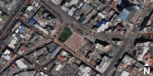
Plaza de San Victorino is the site for design. The plaza consists of a butterfly park, a monument and a garden. It is in the neighbourhood of Vera Cruz and is surrounded by commercial establishments. The site is the base to witness the hustle and bustle of downtown Bogota and the quality of the prime location can be enhanced with design interventions.
- Site area = 2252.62 sq.m
- Height restriction = 3 metres (above ground level) and 8 metres (below ground level)
- Maximum FAR = 0.75
- Coordinates = 4°36'07.2"N 74°04'42.8"W
Setbacks (as per CAD plan)
PROGRAMMATIC OUTLINE
The following programmatic outline is the point to begin your design at. You can add more functions and activities in relevance or modify the below design programme.
- Tracks: Walking, jogging, cycling path
- Leisure: Benches, step seating, cafe
- Recreation: Gardens, performance stage
The existing elements on site can be incorporated and enhanced in the design process. The additions must not diminish the value of the site and its historic image in the city.
Similar Competitions
Discover competitions you might be interested in


Design challenge to reuse E-waste


Imagining parliament for an unified world.

Design challenge fostering public involvement in wildlife research

Design an urban fitness centre
