
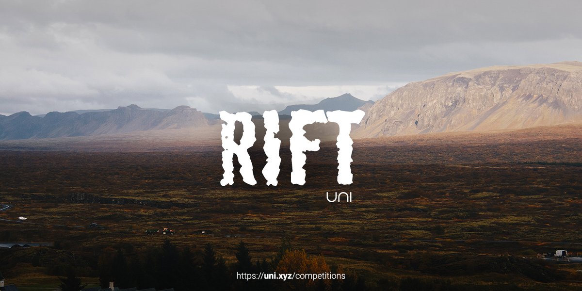
Rift
Challenge to design a geology museum and learning center
Overview
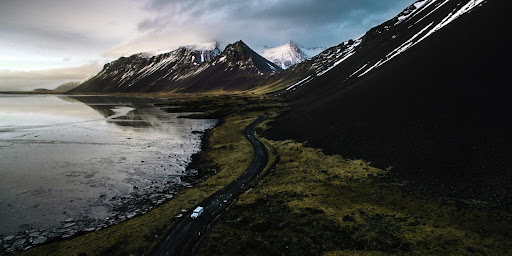 Fig: 1 – Unique landscape of Brottfor-Iceland (Credits-Andre Filipe)
PREMISE
From the days of ancient Greece, men wondered about the origins of the earth and how rocks were formed, and how fossils came to be embedded in them - even, in places, high among mountains. Theories were always around but there was no way of checking them except by using common sense to weed out absurdities.
Leonardo da Vinci, a pioneer in the application of some measure of scientific rigour; for the first time pointed out that fossils are embedded right through rocks and not only on what might have been the surface during a temporary flood.
Only during the 17th century links were made between sedimentary deposits in the oceans and the strata observable in rock formations. During that time a Scottish farmer and a naturalist, James Hutton recognized that the history of the Earth could be determined by understanding how processes such as erosion and sedimentation work in the present day. His ideas and approach to studying the Earth established geology as a proper science
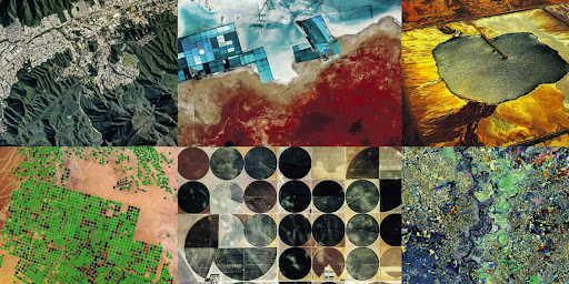 Fig: 2 – The changing geology due to various factors (Credits-Getty Images)
THE NEW AGE
Since the first prehistoric people started to dig earth for stone to make implements, humans have modified Earth’s landscape Over the past 200 years, people have excavated, moved and built up the equivalent of at least six times the volume of any mountain. It is estimated that the worldwide annual shift of sediment by human activity is 57 000 million tonnes. We sculpt and transform the landscape by changing the shape and properties of the ground or even overlaying it with artificial grounds or hazardous elements (waste).
Thereby, humans are agents that act as markers of the new geological age- Anthropocene. The understanding of this relation between earth and humans is not only important because of science, but as the scope in creating solutions for the present and future.
For instance, prediction of natural disasters, the exploration of natural resources or the understanding of our planet's climate throughout time. In real-time geology has extended to the next level, but geology in early educational systems as well as in general is neglected.
How can we fill this gap and impart more awareness of our planet through conscious architecture?
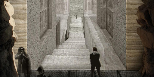 Fig: 3 – Part 2 of“Variations on a theme of deep time-From Geology to Architecture”(Credits- Sarah Gunawan)
BRIEF OF THE COMPETITION
As we lack awareness and understanding of the subject as an importance for the whole of humankind the need to exhibit and provide knowledge is necessary.
Although the impacts and implications of geology are so complicated that experts are grappling with the concepts themselves. Then how can we provide a space that simplifies the contents of past, future and present? Can we do it in a more practical form? Can we impart learning in the very place it is researched at?
Design a geology museum, learning and observation centre. The aim is to showcase the what, why and how of the earth in its oldest and newest forms.
Thereby, increasing the awareness of where we came from and how the earth will work due to various human and natural implications. Design spaces for visiting academics as well as for amateur learners/ students/enthusiasts.
OBJECTIVES
- Experiential: The idea of the museum and its design must be rooted in creating a holistic and realistic experience for visitors.
- Engaging and Educative: The interaction with geological history and experience must be incorporated with the educational aspect of it.
- Materials: Museum materials should be in context to the site.
The above are the more qualitative aspects that the museum must satisfy, and can be a beginning point for participants to conceive their design, concept and ideas related to it.
PROGRAMMATIC OUTLINE
- Research 30%
Laboratories, researchers offices, researchers entry, guest rooms
- Learning and recreation 50%
Exhibition Hall, Auditorium, Learning/workshop areas, Cafes
- Services 20%
Administration office, Curator's office, Entrance Lobby, Washrooms/Toilets, Utility. Participants need not go into the details of research equipment or design guidelines for research rooms.
SITE
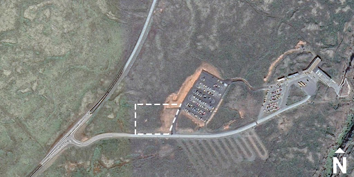
Þingvellir, Iceland
Þingvellir is a national park in the municipality of Bláskógabyggð in southwestern Iceland, about 40 km from Iceland's capital, Reykjavík. Þingvellir is a site of historical, cultural, and geological significance, and is one of the most popular tourist destinations in Iceland.
The park lies in a rift valley that marks the crest of the Mid-Atlantic Ridge and the boundary between the North American and Eurasian tectonic plates. It can be described as an area of sea-floor spreading, displaying the close association of crustal rifting and volcanism. Þingvellir and the Great Rift Valley of Eastern Africa are the only sites on Earth where the effects of two major plates drifting apart can be observed.
- Coordinates: 64.2553084 -21.1399855
- Site Area: 8230.70 sqm
- Maximum FAR: 1
- Ground Coverage: 50%
Setbacks (as per CAD plan)
Ground Coverage refers to the ratio of maximum allowed solid/permanent footprint on the site to balance the built and unbuilt spaces. You can utilize the other 50% of the site for any temporary intervention/recreation.
Similar Competitions
Discover competitions you might be interested in


Design challenge to reuse E-waste

Design challenge fostering public involvement in wildlife research


Challenge to re-imagine a department store in present times


Challenge to design locus for the upliftment of human rights
