
A Manual for Kerala: Resilient Urban Systems Woven from Social Networks and Flood Ecology
An adaptable post-flood reconstruction framework for Aluva that links community stakeholders, safe structures, and green infrastructure into a citywide res


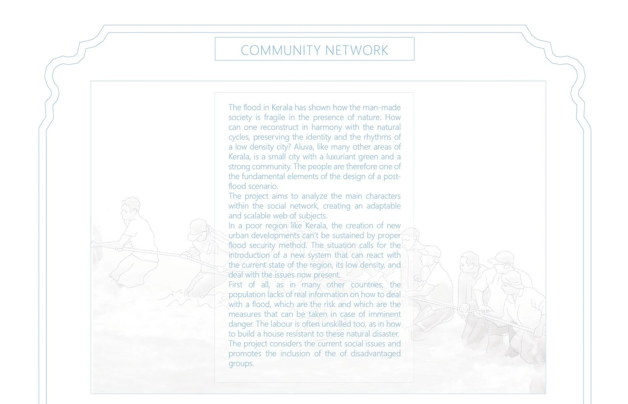
What if the blueprint for rebuilding a flood-ravaged city began not with buildings but with people? A Manual for Kerala takes that question literally, mapping farmers, doctors, children, workers, disadvantaged groups, and private investors into a spatial framework before a single wall is drawn. The result is not a masterplan in the conventional sense but a protocol: a set of interlocking urban rules that turn ordinary civic buildings into emergency shelters, link them through walkable corridors no more than 500 meters apart, and layer ecological systems on top so that the landscape itself absorbs the next deluge.
Designed by Kei Kaihoh and Giulia Chiatante, the project was shortlisted in the HEAL+ competition, which called for regenerative housing strategies in the wake of Kerala's devastating floods. The site is Aluva, a small city defined by lush greenery and strong communal ties, where the designers saw an opportunity to reject outdated urban models in favor of adaptable, inclusive, and scalable structures that prepare communities for an uncertain climate future.
A Foldable Field Guide to Flood Risk
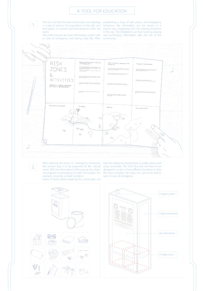
The project's communicative ambition is captured immediately in a foldable instructional diagram that maps risk zones against daily activities. Hands position the poster as though it were a field manual, reinforcing the designers' belief that resilience is participatory: residents must understand their own vulnerability before any architecture can protect them. The diagram divides the city into zones of varying flood exposure and assigns spatial responses to each, turning abstract hazard data into something a community member can hold, read, and act on.
Safe Structures That Serve Two Lives
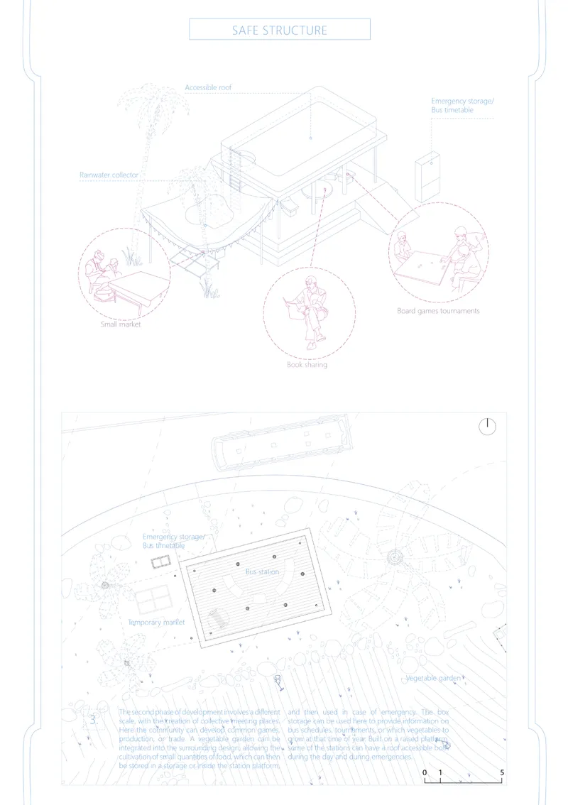
The axonometric drawing lays out the anatomy of what Kaihoh and Chiatante call the safe structure: a multipurpose building that operates as a community hub on calm days and converts into an emergency shelter during floods. Detail vignettes pull out key features: accessible roofs that double as refuge platforms, integrated rainwater collectors for securing vital water supplies, and ground-level spaces programmed for small markets, book sharing, and board games. Emergency storage and bus timetable access are embedded into the architecture so evacuation logistics are always at hand.
What makes this dual-use concept compelling is its refusal to treat disaster infrastructure as something separate from everyday life. The same roof that hosts a weekend gathering becomes a staging area during a crisis. The same rainwater tank that irrigates a courtyard garden sustains residents when municipal systems fail. Architecture here is not a monument; it is a rehearsal space for both normalcy and emergency.
500-Meter Intervals: A Walkable Safety Network
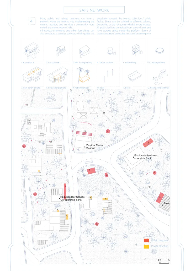
Zooming out from individual buildings, the site plan reveals the safe network: a citywide grid of public and private structures connected by pathways, urban furnishings, and green corridors. Red and yellow markers scatter across the drawing, each representing a node in the system, whether a bus station, bike-sharing hub, garden pavilion, outdoor platform, or birdwatching station. The governing rule is simple and strict: gathering structures are placed no more than 500 meters apart, ensuring that every resident can reach a public facility on foot even as floodwaters rise.
Public spaces throughout the network are raised above ground level to avoid flood damage, and their roofs remain accessible for evacuation. The spatial logic transforms urban planning from a static arrangement of parcels into a networked system of mutual aid, where proximity is itself a form of safety.
Risk Zones and Vernacular Wisdom in a Hybrid Model
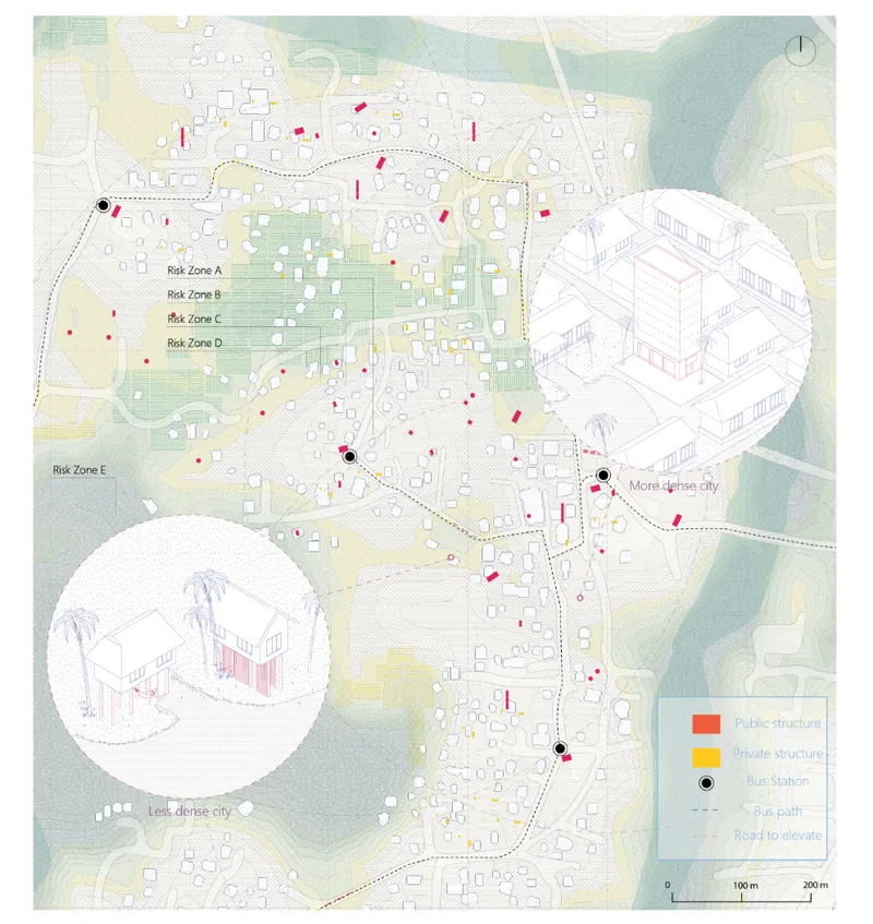
The color-coded master plan makes the risk zone strategy legible at a glance. Denser urban areas adopt elevated large-scale structures capable of absorbing population surges during emergencies. Less dense peripheral zones incorporate traditional Kerala-style verandas raised above projected flood levels, honoring vernacular building knowledge while upgrading it for contemporary climate conditions. Axonometric insets at the edges of the drawing show how each typology responds to its specific risk band, grounding an abstract gradient in concrete architectural form.
Layered into this zoning is a green infrastructure strategy that treats ecology as active urban engineering. Wetlands double as wildlife habitats and flood absorbers. Detention ponds collect rainwater for agriculture. Vegetable gardens and pastures bolster food security. Phyto-purification systems recycle water. Together, these interventions slow floodwater before it reaches the built fabric, turning the landscape into a working ally rather than a passive backdrop.
Why This Project Matters
Post-disaster reconstruction too often defaults to building back the same, faster. A Manual for Kerala resists that reflex by insisting that resilience is systemic, not structural. It asks who lives in the city, what they need, and how those needs shift when the river overflows. The answer is an urban protocol that scales from a single rooftop to a regional ecological corridor, held together by a 500-meter maximum distance rule that converts abstract planning policy into lived spatial safety.
Kaihoh and Chiatante demonstrate that young designers can produce work of genuine strategic depth when competitions ask the right questions. Their manual is not a utopian rendering; it is a toolkit, complete with foldable diagrams, stakeholder maps, and risk gradients, designed to be picked up by a community and put to use. In a climate era that demands adaptive, participatory design, that pragmatic ambition is exactly where architecture needs to be.
View the Full Project
About the Designers
Designers: Kei Kaihoh, Giulia Chiatante
Enter a Design Competition on uni.xyz
uni.xyz runs architecture and design competitions year-round that reward proposals with spatial conviction and real site intelligence.
Project credits: A Manual for Kerala by Kei Kaihoh, Giulia Chiatante HEAL+ (uni.xyz).



Popular Articles
Popular articles from the community

The Earth Pod: 3D Printed Homes for Resilient Refugee Communities
The Earth Pod reimagines refugee housing through 3D printed homes made from clay, combining resilience, self-sufficiency, and rapid shelter.

Co-life: Sustainable Architecture for Age-Friendly Community Living
Co-life reimagines sustainable architecture for seniors through courtyards, rammed earth, shared gardens, and spaces designed for belonging.
AL-JANNAH: Sustainable Architecture and Permaculture for Afghan Widows
AL-JANNAH uses sustainable architecture and permaculture to create resilient oasis of housing, learning, work and renewal for Afghan widows.
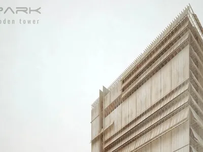
EW PARK: Sustainable Architecture Reimagines the Future of Urban Parking
EW PARK reimagines city parking as a modular wooden tower combining automation, solar energy, electric mobility, and adaptable urban design.

Similar Reads
You might also enjoy these articles
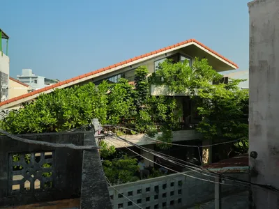
Bao Huynh Watercolor Atelier: A Serene Art Retreat in Hội An
Bao Huynh Watercolor Atelier in Hội An blends multifunctional art spaces, sustainable design, local materials, and family-friendly living in a serene environment.
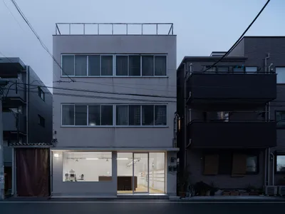
Atelier Macri Concept Store Interior Design by CASE-REAL
Atelier Macri store features a "ko" counter, walnut wood details, cork displays, blending retail, gallery, and seamless customer experiences.
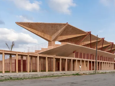
Manuel Vargas Izquierdo Stadium and High-Performance Sports Center: Architectural Excellence in Jalpa de Méndez
The Manuel Vargas Izquierdo Stadium blends sustainable design, inclusive sports facilities, and cultural-inspired architecture, revitalizing Jalpa de Méndez’s public spaces.
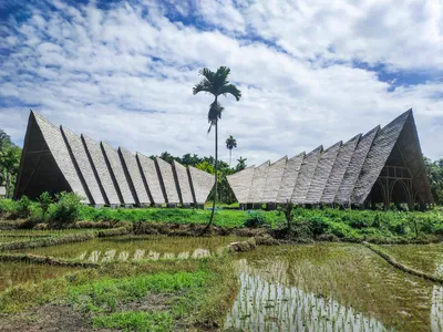
KAKR Buluh Awar Hall: Revitalizing Community and Ecology Through Bamboo Architecture
Community built bamboo hall revitalizes Buluh Awar village, empowering youth, restoring ecology, celebrating vernacular craftsmanship through sustainable architecture and culture.


Comments (0)
Please login or sign up to add comments
No comments yet. Be the first to comment!