
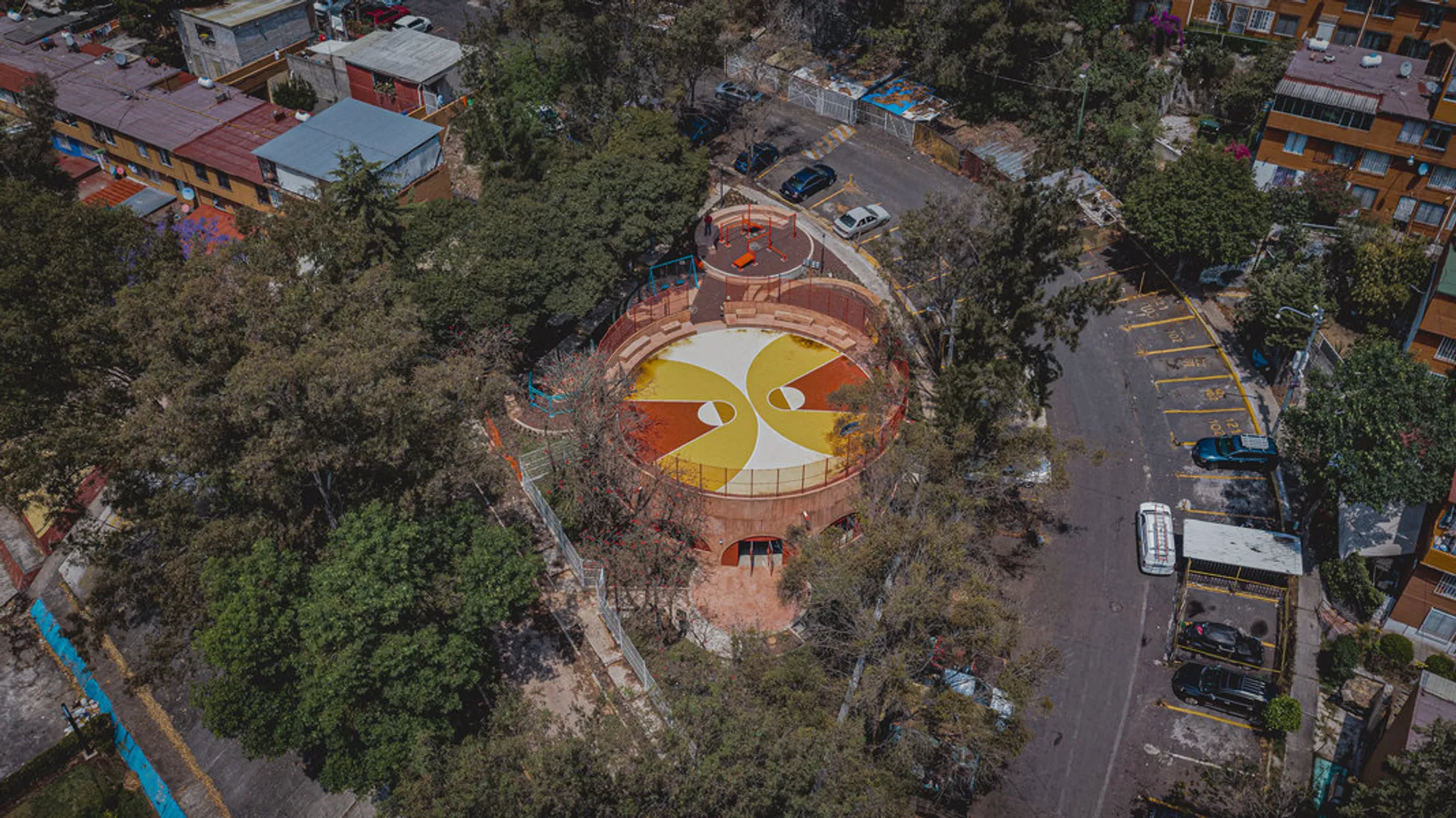
UH Infonavit Santa Fe Community Park by AMASA Estudio – Transforming Urban Landscapes in Mexico City
AMASA Estudio transformed UH Infonavit Santa Fe into a safe, accessible community park with multipurpose spaces, play areas, sports court, and preserved vegetation.


the western edge of Mexico City, the UH Infonavit Santa Fe Community Park, designed byAMASA Estudio in 2024, addresses one of the most challenging urban contexts in recent interventions. The housing unit sits on a ravine, with steep slopes that historically hindered connectivity, accessibility, and community engagement.


Situated at the southern edge of the unit, this triangular site connects two streets at different levels and adjoins a public sports facility, featuring a topographic drop of over six meters. Historically abandoned, the area suffered from deterioration, low usage, and a heightened sense of insecurity, exacerbated by fragmented land and poorly maintained infrastructure.
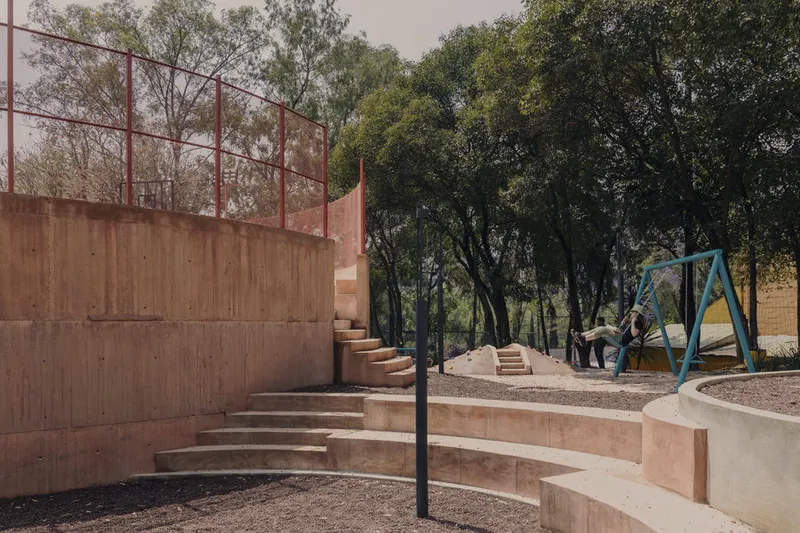
AMASA Estudio’s intervention focused on reclaiming this underutilized space through a comprehensive, community-centered design. The project introduced a 230 m² multipurpose room, restored children's play areas, incorporated a calisthenics space, and rehabilitated the sports court—the only facility still occasionally used.
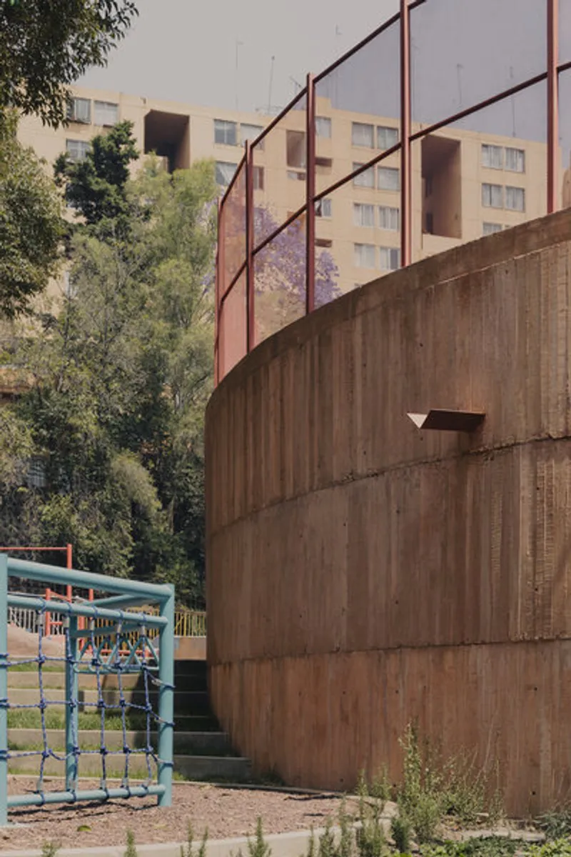
The site’s challenging topography demanded innovative solutions. Rainwater runoff, frequent landslides, and water accumulation in low areas were addressed without removing the abundant existing vegetation of eucalyptus, pines, and colorines, which shaped the building's placement and design. The original concrete court, unstable and poorly drained, required significant adaptation to integrate safely with the surrounding landscape.
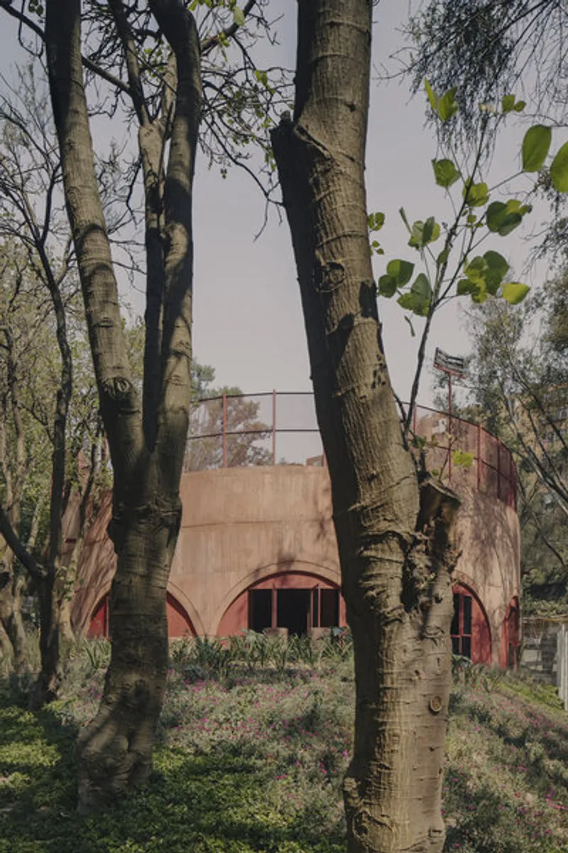

A circular architectural volume became the central gesture of the project. This shape respected the topography, preserved existing trees, minimized the building footprint, and allowed for terraced levels that harmonized with the landscape. Unlike conventional rectilinear forms, the circular plan maximized visibility, encouraged circulation, and eliminated blind corners, creating a continuous spiral-like park where public space and architecture intertwine.
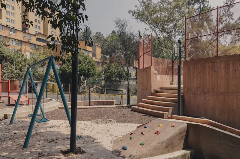
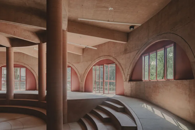
All Photographs are works of Zaickz Moz, Gerardo Reyes Bustamante



Popular Articles
Popular articles from the community

EW PARK: Sustainable Architecture Reimagines the Future of Urban Parking
EW PARK reimagines city parking as a modular wooden tower combining automation, solar energy, electric mobility, and adaptable urban design.
The Musturak Paradise: Senior Living Architecture for a Connected Future in Temara, Morocco
The Musturak Paradise reimagines senior living architecture in Temara via private homes, social spaces, culture, community, and shared care.
AL-JANNAH: Sustainable Architecture and Permaculture for Afghan Widows
AL-JANNAH uses sustainable architecture and permaculture to create resilient oasis of housing, learning, work and renewal for Afghan widows.

The Ocean Hive: Sustainable Architecture for a Self-Sufficient Civilization at Sea
The Ocean Hive imagines sustainable architecture at sea, where modular habitats, algae, wave power and ocean waste sustain a growing colony.

Similar Reads
You might also enjoy these articles

Hodi-Mandai Geram
Project Function: Preservation and revitalization of the Intangible heritage and socio-spatial identity of the Hodi by Housing, Cultural Memory Center, Sacred Grove, landscape, local tourism economy

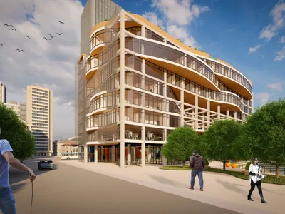
Olio Towers: A Mid-Rise for Performers That Fuses Housing, Rehearsal, and Stage
Located blocks from Houston's Theater District, this modular tower stacks living units around a central performance atrium.
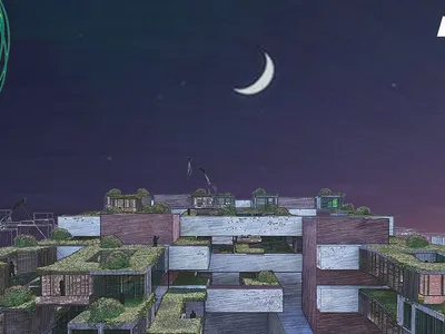
Oasis: Modular Green Housing Carved into Dhaka's Urban Fabric
A shortlisted Plugin Housing entry reclaims unauthorized settlements in Dhaka with stepped concrete volumes, green roofs, and ventilation-driven design.

Black Hole: A Floating Megastructure for the Post-Physical Era
Emiliano Mazzarotto envisions a spherical, self-scaling arena where e-sports, digital hotels, and holographic stadiums replace traditional public space.


Explore Urban Park Competitions
Discover active competitions in this discipline


Challenge to reimagine the Iron Throne

Photograph architecture without architects

Illustrate the lost glory of Angkor Wat - Render Challenge


Design challenge to reuse E-waste
Comments (0)
Please login or sign up to add comments
No comments yet. Be the first to comment!