
Urban Itinerary: Reconnecting a Marginalized District Through Cultural Architecture
A socio-cultural center and urban pathway stitch together a fragmented gypsy settlement at the base of Castle Nogalte in southern Spain.
At the foot of Castle Nogalte in Puerto Lumbreras, Murcia, a decaying Muslim farm settlement sits physically and socially severed from the city above it. Home to a predominantly gypsy population, the district has long been defined by what it lacks: connectivity, civic infrastructure, cultural recognition. The Urban Itinerary and Socio-Cultural Center proposes architecture as the instrument that could reverse that condition, threading a sequence of plazas, cultural venues, and visual axes through the fragmented settlement to build something that no single building can provide on its own: a sense of belonging.
Designed by Duy LuongMinh, the project treats urban regeneration not as demolition and replacement but as careful insertion. The intervention draws on Islamic geometric reinterpretation to create a connective spatial fabric that respects the district's heritage while activating it for contemporary civic life and tourism. Rather than imposing a foreign architectural language on a marginalized neighborhood, the design grows from the site's own cultural DNA.
Angular Volumes Rooted in a Hillside Settlement
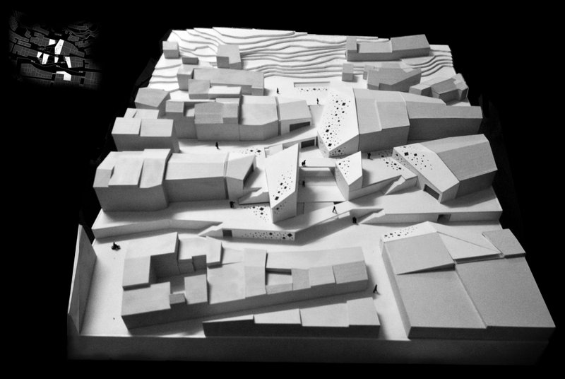
The physical model reveals the project's fundamental spatial move: angular volumes clustered around a central courtyard, nestled within the existing urban fabric rather than standing apart from it. The terraced platforms adapt to the natural topography, stepping up the hillside in a way that reads as landscape and building simultaneously. A vertical circulation spine ties these levels together, ensuring accessibility across zones that range from public plazas at ground level to roof viewpoints overlooking the town and the distant fortifications of Castle Nogalte.
What the model makes clear is that this is not one building but an architectural network. The massing breaks down into distinct volumes connected by outdoor spaces, so the intervention operates at the scale of the neighborhood rather than the scale of a single institution. The surrounding buildings are not erased; they become part of the composition, their textures and rhythms absorbed into a larger spatial sequence.
Four Points, One Itinerary
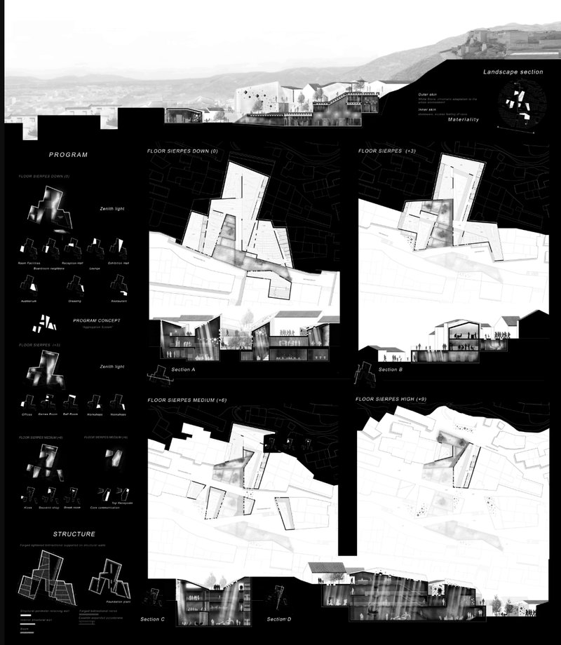
The presentation board lays out the full program and its spatial logic through floor plans, sections, elevations, and program diagrams. The urban itinerary is organized around four key nodes: a cultural square and entrance (Point A), buildings of heritage value (Point B), the central socio-cultural node (Point C), and cave dwellings with scenic viewpoints (Point D). Each point serves a different function within the district's reactivation, but together they form a continuous path that pulls visitors and residents through the settlement, ensuring that no single node becomes a dead end.
The socio-cultural center at Point C anchors the entire system. Its program is deliberately broad: exhibition halls, lounges, auditoriums, and workshop zones occupy a multi-level structure designed to serve both community identity and tourist engagement. The sections visible on the board show how the building mediates between the steep terrain and the public plazas, using level changes as opportunities for spatial variety rather than barriers to access.
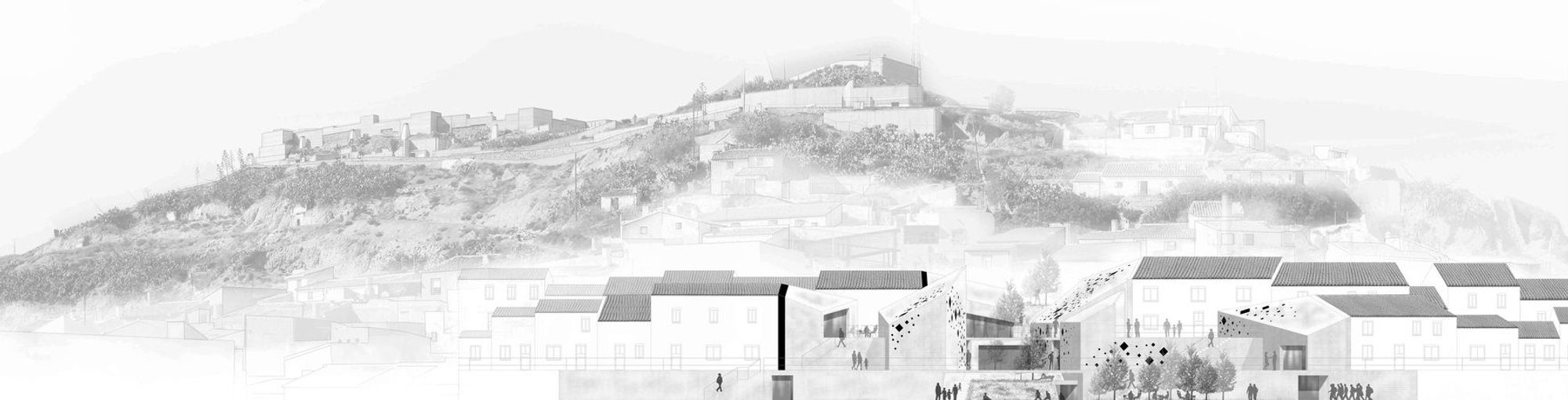
Perforated Facades and the Weight of Light Concrete

The elevation drawing positions the low-rise volumes against the hillside, with the distant silhouette of Castle Nogalte's fortifications anchoring the horizon. The scale is restrained and deliberate. Nothing competes with the castle; instead, the new architecture reads as a geological extension of the slope, its terraced forms stepping down to meet the existing settlement. The relationship between old and new is one of continuity rather than contrast.
Materially, the project employs forged lightweight concrete to create a dialogue between solid volumes and lighter, perforated surfaces. The facades reference Islamic architectural heritage through screens that filter daylight into interior spaces while maintaining visual continuity with the surrounding town. The result is a structure that feels simultaneously robust and porous, capable of sheltering cultural programs within while projecting openness to the neighborhood outside.
Why This Project Matters
Urban regeneration projects in marginalized districts face a fundamental tension: intervene too aggressively and you erase the community you claim to serve; intervene too timidly and nothing changes. The Urban Itinerary navigates this tension by distributing its impact across the settlement rather than concentrating it in a single landmark. The itinerary format ensures that the architecture serves as connective tissue, linking cave dwellings to cultural squares, heritage buildings to new civic spaces, rooftop viewpoints to street-level plazas.
Duy LuongMinh's design demonstrates a mature understanding of what inclusion actually requires in spatial terms. It is not enough to build a community center and declare the problem solved. The project's strength lies in recognizing that a district severed from its city needs a network of reconnections, not a single gesture, and that the architectural language of those reconnections should emerge from the cultural heritage of the people who live there. That is a principle worth taking seriously far beyond Puerto Lumbreras.
View the Full Project
About the Designers
Designer: Duy LuongMinh
Enter a Design Competition on uni.xyz
uni.xyz runs architecture and design competitions year-round that reward proposals with spatial conviction and real site intelligence.
Project credits: Urban Itinerary + Socio-Cultural Center by Duy LuongMinh.


Popular Articles
Popular articles from the community
gru.a Builds a 70 m² Timber Shelter That Opens Like a Farm Door in Brazil's Valley of the Vines
In the mountainous region near Rio de Janeiro, a compact retreat uses plywood panels and deep eaves to blur the line between inside and out.
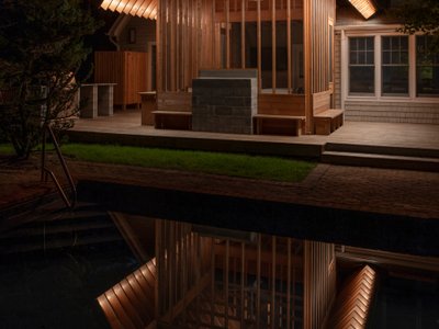
BLDUS Turns a 250-Square-Foot Screened Porch into a Pine Forest Temple in East Hampton
A gabled cedar pavilion mimics the rhythm of surrounding pines, anchoring a 1990s wooded home to its hollow in Long Island.
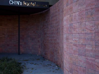
VEIVE Architects Builds a Mountain Hostel That Disappears into a Hangzhou Hillside
On the Huihang Ancient Trail in Xiangjian Village, a shelter of wood, steel, and rammed earth roots itself in the rural landscape.
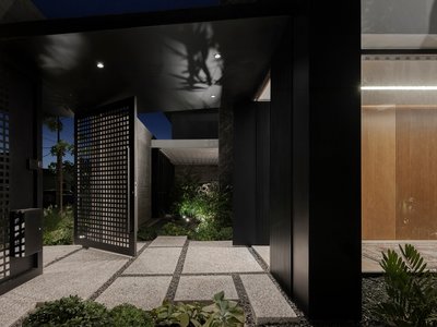
Constanti Architects Builds a Fortress of Privacy in Nicosia with House 345
A concrete and timber residence in Cyprus reinterprets the traditional introverted courtyard house for a new urban landscape.

Similar Reads
You might also enjoy these articles
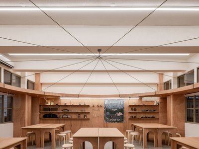
317studio Turns an 87 m² Classroom into a Forest Clearing for Scouts in New Taipei City
A rope canopy, student-made specimens, and campfire geometry replace rows of desks in this Scouting classroom in Xizhi District.
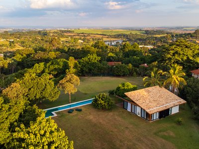
24 7 Arquitetura Builds a Timber Pavilion as a Family's First Act on a 5,000 m² Brazilian Plot
In Jaguariúna, a prefabricated glulam house nestles among mature trees as the opening move of a larger residential masterplan.
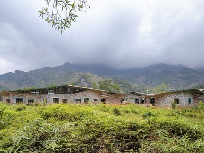
1+1>2 Architects Build a School from 900 Blocks of Hmong Stone on Vietnam's Rocky Plateau
On a barren valley in Ha Giang province, a community quarried its own stone to raise a kindergarten and primary school rooted in Hmong identity.
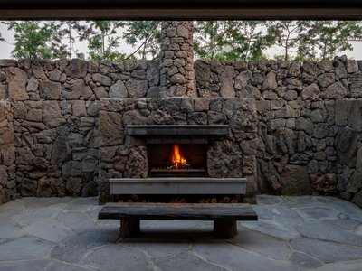
100A Associates Builds a Volcanic Stone Retreat on Jeju Island Rooted in Ritual and Restraint
Watarstay [Wa:Tar] in Bongseong-ri channels Jeju's basalt, reed, and hemp into a 150 m² hospitality space shaped by contemplation.


Comments (0)
Please login or sign up to add comments
No comments yet. Be the first to comment!