
Urban Planning
The planning, design, and development of urban spaces, neighborhoods, and cities at multiple scales.
Urban planning is the discipline of deciding how land in cities, towns and regions is used, connected and served over time. It sets where housing, work, transport, parks and infrastructure go, and it writes the rules that guide private and public building toward a shared picture of how a place should grow.
What is urban planning?
Urban planning works at the scale of the whole settlement. A planner asks how many people a district can hold, how they will get to work, where water and power will come from, which land should stay open, and what the city should look like in twenty or fifty years. The outputs are rarely buildings. They are master plans, zoning codes, transport strategies, land use maps, development controls and the public processes that produce them.
It overlaps with several neighbouring fields but is not the same as any of them. Urban design is closer to architecture: it shapes the physical form of streets, blocks and public spaces, often inside a framework that planning has already set. Architecture deals with individual buildings and their sites. Landscape architecture designs open ground, ecology and water. Transport engineering sizes roads and rail lines. Urban planning is the layer that coordinates them, and it carries a public, political dimension that the others do not, because it allocates scarce land and public money among competing interests.
In practice the boundaries blur, especially in student and competition work. Many proposals filed under urban planning on uni.xyz are really urban design visions: they draw a district, test a block typology or redraw a transit corridor. That is useful. A spatial idea is often the clearest way to argue for a planning policy, and the best planners can sketch as well as they can write a code.
A short history of urban planning
Cities have been planned for as long as they have existed, but a handful of moments still shape how the discipline thinks.
The grid. Orthogonal street grids appear in many ancient cities. In the Greek world the gridded plan is traditionally associated with Hippodamus of Miletus, and Roman camps and colonial towns spread the regular grid across Europe. It remains the most common answer to the question of how to divide land fairly and extend a city quickly.
Cerdà and Haussmann. In the nineteenth century two plans set the terms for the industrial city. Ildefons Cerdà's 1859 plan for the Eixample, the extension of Barcelona, laid out a uniform grid of chamfered blocks designed around sunlight, ventilation and greenery. Cerdà coined the word "urbanization" and is considered a founder of modern town planning as a discipline. In Paris, Baron Haussmann's renovation under Napoleon III cut wide boulevards through the medieval city and added sewers and parks.

The Garden City. Ebenezer Howard set out the Garden City in 1898 and reissued it in 1902 as Garden Cities of To-morrow: self-contained towns of limited size ringed by agricultural belts. Letchworth and Welwyn Garden City were built near London on the idea, and its influence runs through later new towns and green belt policy.
"Town and country must be married, and out of this joyous union will spring a new hope, a new life, a new civilisation."

Modernism and its critics. Le Corbusier and the CIAM congresses argued for cities separated into zones for living, working, recreation and circulation, with towers set in open parkland. Post-war reconstruction applied these ideas widely. In 1961 Jane Jacobs answered with The Death and Life of Great American Cities, defending mixed uses, short blocks, old buildings and dense street life. Much of contemporary planning, from mixed-use zoning to the walkable neighbourhood, descends from that critique.
Sustainability and resilience. Since the late twentieth century planning has turned toward compact growth, public transport, ecology and climate adaptation. Barcelona is now reorganising traffic across Cerdà's grid to create green streets and new squares at crossings, with the stated aim that every Eixample resident has a square or green street within 200 metres of home. A historic plan can be reprogrammed rather than replaced.
Key principles of urban planning
Land use and density
Every plan decides what can be built where and how intensely. Mixing homes, shops, schools and workplaces shortens trips and keeps streets active at different times of day. Density is not the enemy of quality; poorly served density is. The question is always whether infrastructure, open space and services grow with the population they support.
Mobility and transit
Transport shapes cities more than almost any other investment. Transit-oriented development concentrates housing and jobs within walking distance of stations, so that public transport becomes the easy choice. Good plans treat walking and cycling as primary modes and design streets for people before vehicles.

Public space and social life
Streets, squares, parks and waterfronts are where a city's residents meet as equals. Planning protects them from being sold off or crowded out, and sizes them for real use: shade, seating, safety at night and access for children and older people.

Climate, water and ecology
Cities sit on rivers, coasts, slopes and floodplains. Planning that ignores natural systems pays for it in floods, heat and polluted air. Contemporary practice maps drainage, keeps green corridors continuous and plans for resilience, so that a district can absorb a shock and recover.
Equity and participation
Plans distribute benefits and burdens. Who gets the new station, and who gets displaced by rising rents? Participatory processes, affordable housing requirements and attention to informal settlements are now core parts of the field rather than optional extras.
Phasing and adaptability
Cities are never finished. A strong plan describes rules and frameworks that can absorb change, not a single frozen image. Incremental strategies, reversible pilots and retrofit of existing stock are often more realistic than clearing land for a new start.
Urban planning on uni.xyz
The urban planning topic on uni.xyz gathers several hundred projects and journals, most of them made for design competitions. Read together, they show a community far more interested in fixing existing cities than in drawing new ones from scratch. Mumbai, Delhi, Paris, Istanbul and Barcelona come up again and again.

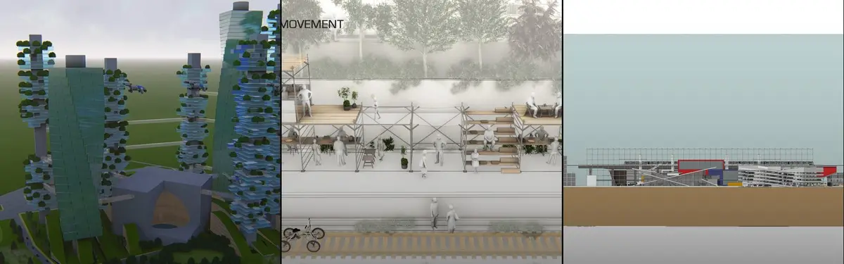
The single most liked project, Peripherique in Movement by Cem Ozbasaran, received an Honorable Mention in the Salut Paris competition. It treats the Paris beltway as a line of potential rather than a barrier, extending new zones of movement along the périphérique until they build enough momentum to create a circular flow around the city.
Mumbai's suburban railway is the subject of two People's Choice Award winners in the Hyperlocal competition on rebuilding Mumbai from within. LOCALS WITH LOCALITY treats crowding as the core problem and proposes multiple levels of network, pedestrianisation, transit-oriented development and intelligent transport systems, with a regeneration target of 2030. Its statement puts the idea in one line:
"Crowd brings suffocation and dispersing the crowd brings a breath of fresh air."
Nidhi Piludaria, Reema Prajapati, Krutik Patel, Parag Mistry and Aalisha Sorathiya, LOCALS WITH LOCALITY project statement
ALAWABBAD takes a more incremental route, improving safety and decongesting the network by building on the tried and tested system while adding a new one for commuters travelling between existing lines.
Delhi's public realm drew a cluster of entries to the Neo Delhi competition. NEO-CONNECT, a People's Choice Award winner, opens with a line from Jane Jacobs about fitting plans to people and argues that sprawl and scarce land are erasing public open space. Its answer is to recast the site, which the team calls CP, as an inclusive, multi-layered public utility space built around community interaction.
Water drives Cape in Flow, an Editor's Choice entry in the Ripple competition by a team from IstanbulON ITU. It reads Istanbul's long relationship with water as a kind of flow and proposes strategies at both micro and macro scale to make its waterfront site an active part of the city again.

The richest seam of journals comes from the Hyperblock competition, which asked entrants to rethink Barcelona's superblock model for 2050. GREEN GRID, an Editor's Choice entry, opens, terraces and links the courtyards of nine Cerdà blocks into a second pedestrian circulation layer, keeping streets as streets while tackling poor solar access and car-dominated roads. An Urban Social Network by Ivette Caveli, also an Editor's Choice, distributes small collective spaces across a whole neighbourhood instead of concentrating them in one civic gesture.

Outside Barcelona, Thu Thiem Banks Market by Nicolas Eberle won the Street City Vietnam competition by carving a market into the canal banks of Ho Chi Minh City's Thu Thiem district, so that boats, stalls, workshops and walkways share one waterfront system. And Hudson Yards, shortlisted in New Dencities, organises a Manhattan district around a continuous planted axis its designer calls a green ray, protecting the ground plane for pedestrians.
Challenges and future directions
The hardest problems in planning are rarely about form. Housing affordability is the most persistent: cities that succeed attract people faster than they build homes, and rising land values push lower-income residents to the edge, far from jobs and transit. Informal settlements remain home to many urban residents, and UN-Habitat's work on them centres on adequate housing, clean water, sanitation, secure land tenure and the participation of residents. Plans that ignore these districts describe a city that does not exist.
Climate change adds pressure from every side. Coastal and river cities face flooding, dense districts trap heat, and car-dependent suburbs lock in emissions for decades. Retrofitting existing cities is where most of the work will happen, which is why so many uni.xyz entries start from a railway, a historic grid or a flood-prone settlement that already exists.

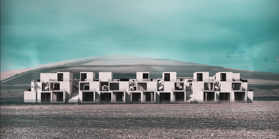
The same five designers behind ALAWABBAD made Safe (X) for the HEAL+ competition on regenerative housing in Kerala. It sets out a scalable model for a 100-unit regenerative community, refining strategies from master plan down to dwelling unit, with an action plan for surviving a flood. It is planning carried all the way from policy to house.
"Designing a dream city is easy; rebuilding a living one takes imagination."
Data and digital tools are changing how planners model traffic, energy and growth, but sensors do not settle questions of who decides and who benefits. The most promising direction may be the oldest one: planning at the scale of the neighbourhood, where everyday needs sit within a short walk and residents have a real voice in how their streets change.
Urban planning for students and designers
For a thesis, the strongest urban planning topics start from a real place and a specific problem: a rail corridor, a flood-prone settlement, an under-used waterfront, a market street or a mass housing estate. Map it carefully, then test a spatial strategy at more than one scale. Juries reward projects that move from district diagram to street section to the experience of one resident.
Study the classic texts (Cerdà, Howard, Jacobs, Kevin Lynch's The Image of the City), learn basic GIS and transport modelling, and read zoning codes, because they are where ideas become law. Competitions are a quick way to build a portfolio around these themes; browse open briefs on uni.xyz competitions. Related topics worth following include public space and waterfront design.
Frequently asked questions
What is the difference between urban planning and urban design?
Urban planning sets the policies, land uses, transport networks and regulations that guide how a city grows. Urban design shapes the physical form of streets, blocks and public spaces within that framework. Planning decides that a district should be dense and mixed; design decides what its streets and squares look like.
What are good urban planning thesis topics?
Strong topics address a real site and a pressing issue: transit-oriented redevelopment around a station, flood-resilient housing, reuse of an industrial waterfront, retrofit of mass housing, or reclaiming streets from cars. The uni.xyz projects above, from Mumbai's rail network to Barcelona's superblocks, show how to frame such questions spatially.
What is waterfront urban planning?
Waterfront planning deals with the edge between a city and its river, lake or sea. It balances public access, ecology, flood protection, port or industrial uses and new development. Good waterfront plans keep the edge public and continuous, as Cape in Flow and Thu Thiem Banks Market both argue.
What is a superblock in urban planning?
A superblock groups several city blocks into one larger cell and calms through traffic on the streets inside it, freeing them for walking, play and planting. Barcelona is applying the idea to Cerdà's grid, and the Hyperblock competition on uni.xyz asked designers how far that model could be pushed by 2050.
Are there urban planning competitions for students?
Yes. Many design competitions set urban briefs, from rethinking a rail network to redesigning a historic grid, and they are open to students and professionals alike. Several of the projects on this page were made for competitions hosted on uni.xyz.
References and further reading
- Ildefons Cerdà, Wikipedia
- Garden city movement, Wikipedia
- Garden Cities of To-morrow by Ebenezer Howard, Project Gutenberg
- Downtown Is for People by Jane Jacobs, Fortune
- Superblocks in the Eixample, Barcelona City Council
- Slum upgrading, UN-Habitat


Popular projects
View all 498 projects


Latest journals
View all 407 journals

ULTRA STUDIO Rescales Tokyo's Tiled Towers and Retaining Walls into a Terraced Apartment Block in Uehara
In Tokyo's sloping Uehara district, a 899 m² apartment block turns overlooked street habits, tile, plinths and hanging gardens, into architecture.

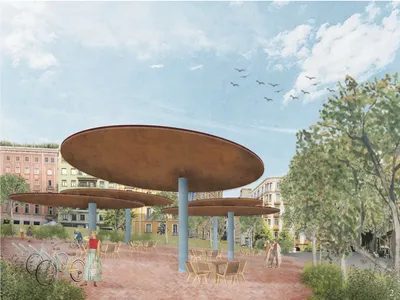
An Urban Social Network: Redesigning Barcelona's Blocks Around Everyday Life
A distributed network of collective spaces across Barcelona's superblocks weaves ecology, accessibility and social infrastructure into one spatial system.
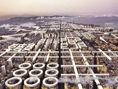
HYPERBLOCK: A Catalogue of Strategies for Growing Barcelona Upward
Vicky Daroca's Editor's Choice entry layers nine flexible massing systems above Cerdà's 133-metre grid without erasing the city beneath.
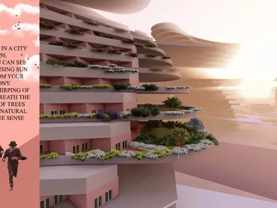
Synergize: Rewiring Barcelona's Cerdà Grid into a Cooperative Urban Network
A shortlisted Hyperblock entry dissolves block boundaries to create 800-metre pedestrian districts within Barcelona's iconic grid.


